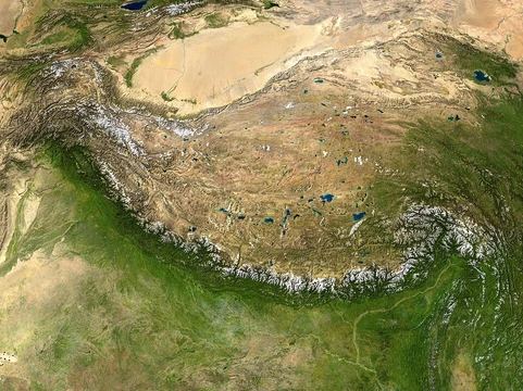
Northeast China Plain
China's largest plain, a major agricultural and resource region.

Unknown cartographer · Public domain
- location
- Northeast China
- major_rivers
- Songhua, Nen, Liao
- subregions
- Songnen Plain, Liaohe Plain, Sanjiang Plain
- historical_inhabitants
- Sushen, Jurchen, Han migrants (Chuang Guandong)
Lore & Background
The Northeast Plain has been inhabited since the Zhou Dynastic period by Sushen ethnic groups, including the semi-nomadic Jurchen people. The landscape features few natural trees, with poplars planted along roads and train tracks. Wetlands, marshes, and flood-prone areas are common.
Reader's Guide
The Northeast China Plain is significant as China's largest plain and a major Chernozem-producing region, with thick, fertile soil suitable for mechanized farming. It produces wheat, corn, soybeans, upland rice, sugar beets, sunflowers, sorghum, and flax. The plain also holds rich resources such as iron ore, coal, and oil. Historically, it was inhabited by Sushen and Jurchen peoples before large-scale Han migration during the Qing dynasty transformed it into an agricultural heartland. The plain's lack of fences and planted trees reflects its open, agricultural character. Its legacy lies in its role as a food-producing region and resource base, shaped by both natural geography and historical migration.
Did You Know?
- The Northeast Plain is also called the Songliao Plain or Manchurian Plain.
- It was originally inhabited by Sushen ethnic groups since the Zhou Dynastic period.
- The Sanjiang Plain was once a swamp known as the 'Great Northern Wilderness.'
Geological Origins and Physical Boundaries
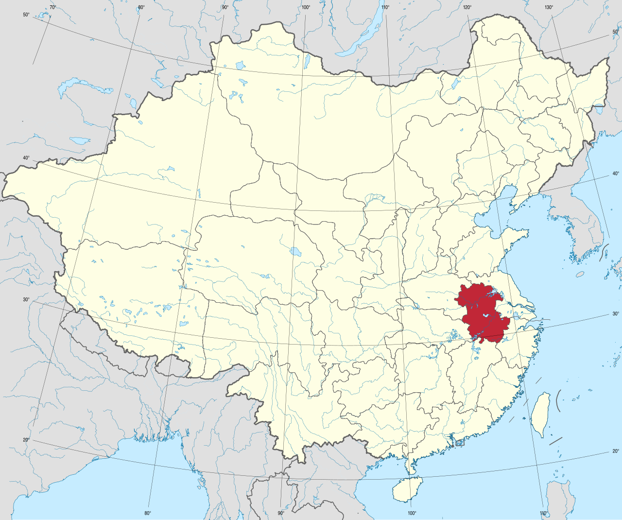
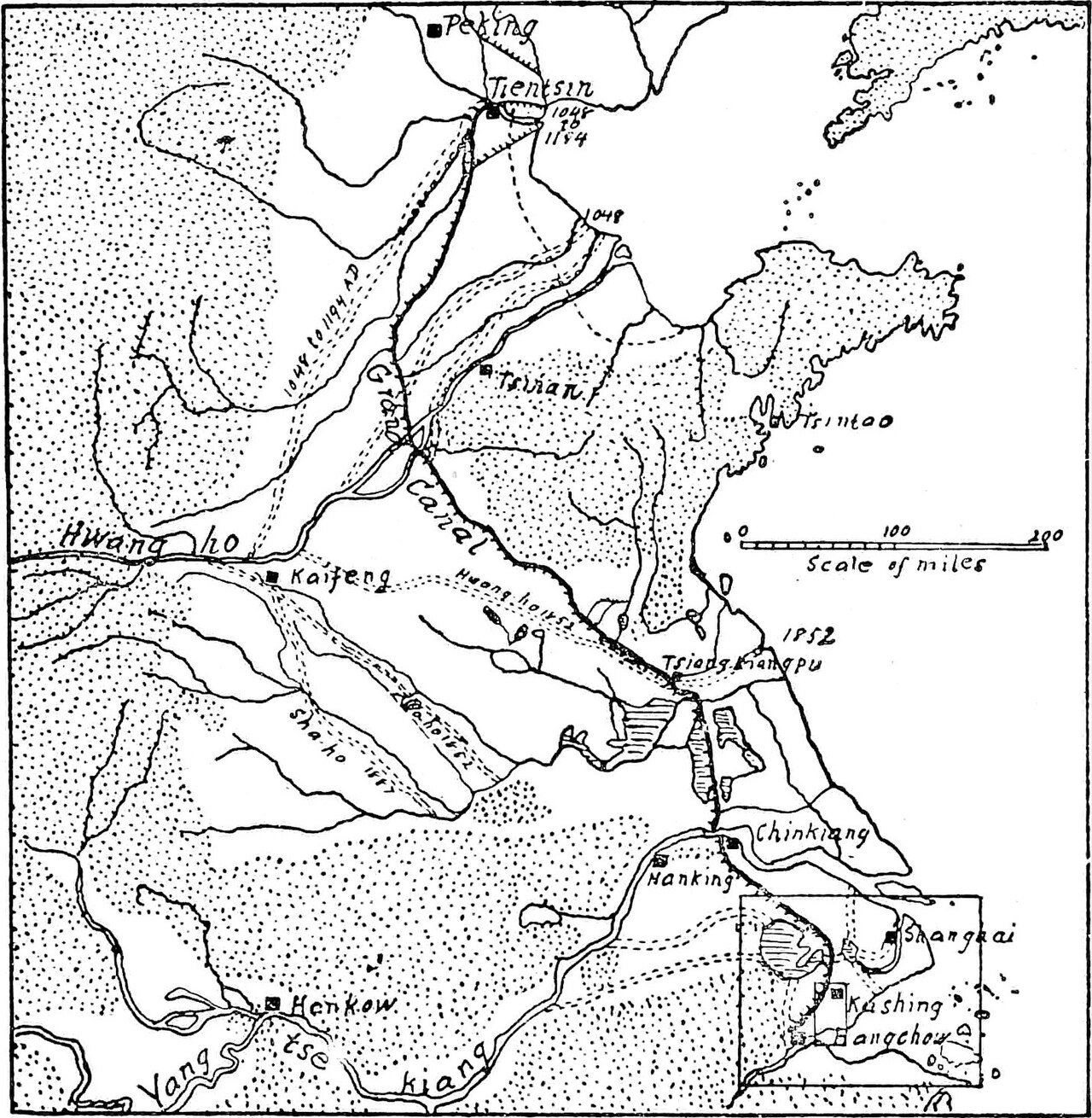
The North China Plain did not appear overnight. It originated as a downfaulted rift basin during the late Paleogene and Neogene, a tectonic process that opened a vast low-lying depression. Over countless millennia, the Yellow River and its tributaries deposited layers of alluvial sediment into that basin, building what is now the largest alluvial plain in China. Its edges are framed by the Yanshan Mountains to the north, the Taihang range to the west, the Dabie Mountains to the south, and the Yellow Sea and Bohai Sea to the east. The Xiaolangdi Dam marks the point where the Yellow River leaves its last mountain valley and spills onto the flat expanse, feeding the great silt-built delta that has accumulated over thousands of years. The plain encompasses much of Henan, Hebei, and Shandong, as well as the northern portions of Jiangsu and Anhui, and in its far south it merges with the similarly level Yangtze Delta. Because of its characteristic yellow soil, the region has long been known by the nickname "Land of the Yellow Earth."
Cradle of Chinese Civilization
The stretch of the North China Plain that hugs the middle and lower reaches of the Yellow River is traditionally called the Central Plain, or Zhōngyuán. This area is widely regarded as the cradle of Chinese civilization, the region from which the Han Chinese people first emerged as a distinct cultural group. Its strategic position has made it a magnet for political power across millennia. Beijing, the modern capital, sits on the plain's northeast edge, while Tianjin, a major industrial and commercial port, lies near the northeast coast. Jinan and Zhengzhou, the provincial capitals of Shandong and Henan respectively, rest along the Yellow River's banks. Even earlier, the plain hosted the imperial capitals of successive dynasties: Luoyang served as the seat of the Han, Jin, Sui, and Tang, while Kaifeng was the capital of the Northern Song. His recorded teachings in The Analects gave rise to Confucianism, a philosophical tradition that, tied to the Classical Chinese writing system, spread across China, Korea, Japan, and Vietnam, deeply shaping their political, legal, and educational institutions for centuries.
Agricultural Heartland and Strategic Resources
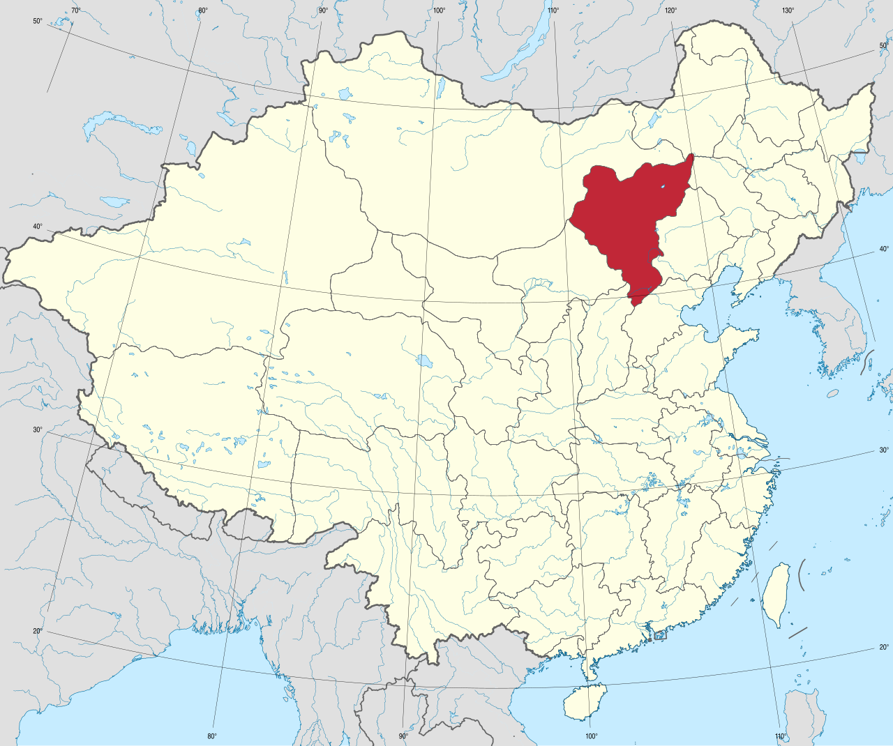
The North China Plain is one of the most densely populated regions on Earth, a fact closely tied to its extraordinary fertility. It serves as one of China's most critical agricultural zones, yielding wheat, maize, sorghum, millet, peanuts, sesame seed, cotton, and a wide variety of vegetables. In particular, the plain is the country's principal region for sorghum, millet, maize, and cotton production. Beyond crops, the eastern portion of the plain hosts Shandong's Shengli Oil Field, an important petroleum base that adds an energy dimension to the region's economic profile. Yet the plain's fertility comes with a price. Situated at the intersection of humid Pacific winds and dry continental air, its weather is notoriously unpredictable, making the region vulnerable to both severe droughts and devastating floods. The flat topography amplifies the danger: when river embankments or hydraulic works fail, water spreads across the plain with little natural obstruction. Many historians argue that these recurring threats drove the development of a centralized Chinese state, one capable of managing granaries, maintaining irrigation infrastructure, and building fortifications against nomadic incursions from the steppes of Inner Mongolia, Dzungaria, and Northeast China—threats that ultimately prompted the construction of the Great Wall.
Climate Vulnerability and the Road Ahead
The North China Plain's flat, open geography, which once enabled rapid horseback communication and a relatively uniform spoken language, now makes it acutely vulnerable to the effects of a warming climate. The region's extensive irrigation networks, essential for its agricultural output, create unusually moist air that amplifies heat stress. As global temperatures rise and extreme events grow more intense, the plain is expected to be among the hardest-hit areas. Under scenarios lacking aggressive climate action, the worst projected heatwaves would become severe enough to cause mass mortality among agricultural laborers working outdoors. This vulnerability is not new in spirit; the plain has always sat at the crossroads of competing air masses, and its flatness has historically turned river failures into catastrophic floods. The modern challenge, however, is that the very irrigation systems making the plain so productive are now intensifying the humidity that turns heat into a public-health emergency, threatening the livelihoods of the millions who depend on its fields.
Gallery
Frequently Asked Questions
Who is Northeast China Plain?
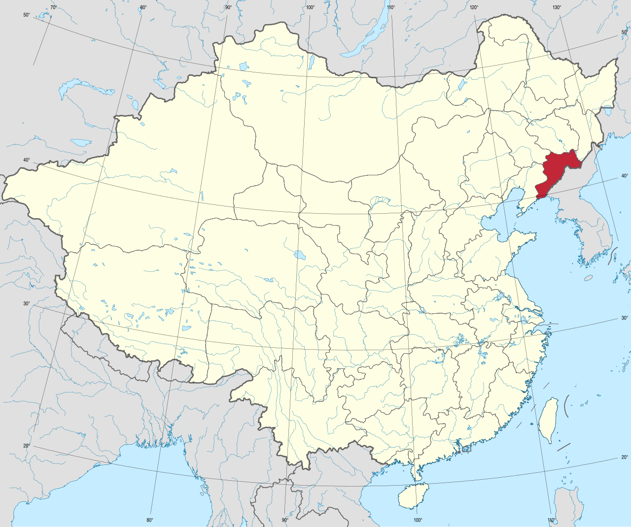
Northeast China Plain is the largest flat expanse in China, tucked between the Greater and Lesser Khingan ranges to the north and the Changbai Mountains to the east, stretching south until it meets Liaodong Bay in the Bohai Sea. Three major river systems—the Songhua, Nen, and Liao—drain its surface.
What are Northeast China Plain's powers/role?
It operates as one of the country's most critical agricultural and natural-resource hubs, supplying enormous grain output and raw materials to heavy industry. Its three subregions—the Songnen, Liaohe, and Sanjiang plains—each bring distinct soil and climate strengths to that production.
How does Northeast China Plain's story end?
As a living geographic feature the plain has no fixed finale, though its role in national food security and industrial supply is expected to stay central for the foreseeable future. Ongoing pressures from soil fatigue, urban sprawl, and climate shifts will shape whatever comes next.
Why is Northeast China Plain important?
It anchors China's northern food supply and resource economy, making it indispensable to national stability. Its broad, fertile terrain also let successive cultures—Sushen, Jurchen, and later Han migrants during the Chuang Guandong wave—settle and build polities on a scale smaller regions simply couldn't sustain.
Who are Northeast China Plain's key allies?
The Songhua, Nen, and Liao rivers act as its primary waterways, distributing moisture across the landscape and enabling the agriculture that defines the region. Historically, the Sushen, Jurchen, and Han migrant communities have been its most enduring co-stars, each layering new cultural and economic identity onto the plain.
More in Plateaus And Plains 25-27
Elsewhere in the Plateaus And Plains universe
Spotted an error? Know more?
This is a living reference — every entry is fact-audited, and reader corrections feed straight into our audit queue. Suggest an edit · See this site's audit record